A long time ago, I thought satellite positioning was called GPS, and GPS was called satellite positioning. Until the advent of China’s Beidou navigation system, the original satellites that could not be located were called GPS, and it might also be called Beidou.
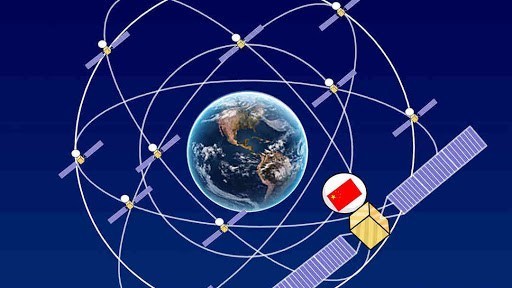
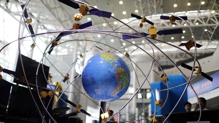
BeiDou Navigation is a BeiDou Navigation Satellite System (BDS) developed by China itself. It is also the third mature satellite navigation system after GPS and GLONASS. At present, Beidou satellite navigation system, US GPS, Russia GLONASS, and EU GALILEO are recognized suppliers of the United Nations Satellite Navigation Commission.
With the increase of China ’s autonomy in science and technology, its dependence on the United States is gradually weakening. The navigation system is one of the directions. In the past, we have used GPS for too long, and now China has its own set of improvements. Satellite positioning navigation system.
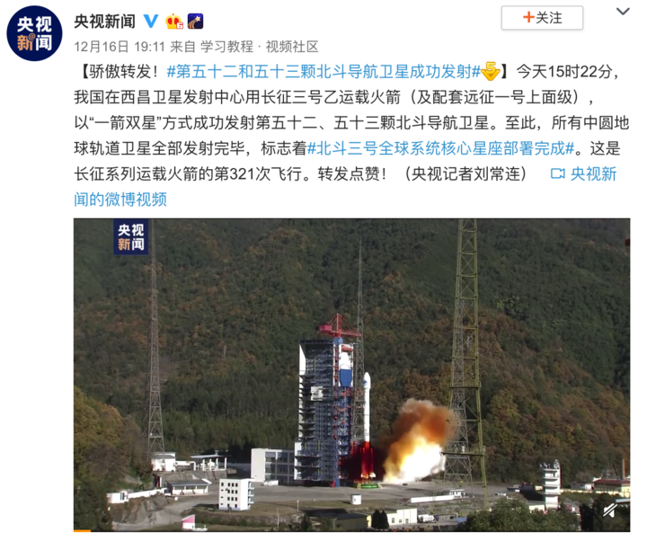
Ran Chengqi, a spokesman for Beidou Satellite System, recently said that the last two Beidou navigation satellites will be launched in June next year, when the Beidou-3 system will be fully completed. The latest launch was on December 16th, and two Beidou satellites were successfully launched again, according to CCTV news reports.
The Beidou Navigation Project has launched a total of 53 Beidou satellites since 2000, including some satellites that are no longer in use today. Beidou Navigation System began to provide global services at the end of 2018 and began to provide positioning services for private companies in late November this year.
According to the Nikkei Asian Review, according to statistics, 70% of Chinese smartphones currently support the Beidou navigation system. Of course, these phones also support the US GPS system. Currently, the default mobile phone uses the GPS system. More as an alternative.
Ran Chengqi also said that Beidou system will enter a new era of global services and will bring benefits to ASEAN, South Asia, Eastern Europe, West Asia and Africa in terms of precision agriculture, digital construction and smart port construction.
After the system is completed, the navigation service itself will be enhanced by the end of next year. For example, the level of positioning accuracy will increase from 5 meters to 1 cm, which will help search and rescue missions.
This accuracy is also crucial for the development of driverless cars. Both Beidou and 5G will be used by self-driving buses and will soon begin operations in Wuhan. According to reports, China’s first self-driving commercial operation line was completed in Wuhan CBD, and before that, smart buses had obtained the Wuhan Intelligent Network Test License and Commercial Operation License. This photo was also the world’s first self-driving commercial license.

Obviously, the combination of 5G + BeiDou + AI has become a new opportunity for the development of many cities in China. Related constructions such as autonomous driving and smart cities will flourish in the next ten to twenty years.