On May 27, the Mount Everest 2020 mountaineering team successfully summited Mount Everest, the world ’s highest peak. They will set up target targets on the peak, install GNSS antennas, and carry out various peak surveys. The height measurement of Mount Everest will use a variety of traditional and modern measurement techniques. Among them, the global navigation satellite system (GNSS) satellite measurement is an important part, and it is mainly based on the data of China’s Beidou satellite navigation system. At the same time, the mountaineering team provided communication guarantee by the Zhongxing 6A communication satellite during the mountain climbing, and the live picture on the way was transmitted back through the satellite. Meteorological satellites such as Fengyun 4 provide meteorological monitoring support.
China ’s Beidou navigation satellite is mainly developed by the fifth academy of China Aerospace Science and Technology Group Co., Ltd .; Zhongxing 6A communication satellite is developed by the fifth academy of the aerospace science and technology group, aerospace technology The group’s China Satellite Communications operates; the Fengyun 4 meteorological satellite is developed by the Eighth Academy of the Aerospace Science and Technology Group; the Long March 3A series launch vehicle used to launch the Beidou navigation satellite, the Zhongxing 6A communication satellite, and the Fengyun 4 meteorological satellite is operated by the space The first institute of the Science and Technology Group focuses on the general development.
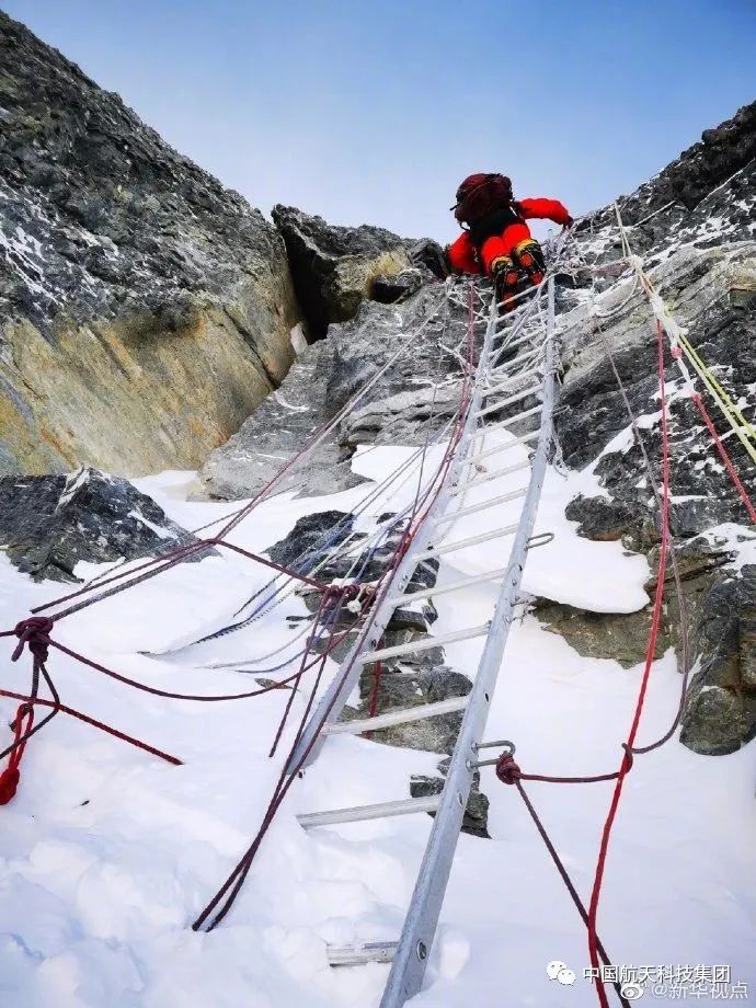
climbing!
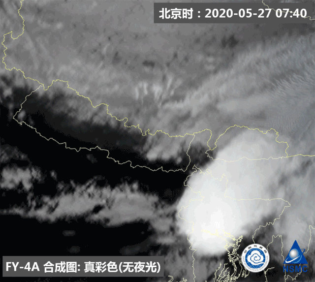
FY-4A stationary weather satellite monitoring animation (May 27, 2020 07:35 to 11:15) At the top of the peak, GNSS The receiver can obtain information such as the plane position, the snow height and the ground height through the satellite, and there is a certain conversion relationship between the ground height and the altitude.
“In 2005, GNSS satellite surveys mainly relied on GPS systems. This year, we will also refer to the US GPS, European Galileo, Russian Glonas, and Chinese Beidou. The big global navigation satellite system, and will be based on the data of Beidou. “Li Guopeng, leader of the first geodetic team of the Ministry of Natural Resources, said.
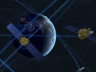
Schematic diagram of Beidou satellite navigation system Li Guopeng said that this is the first application of Beidou system in the elevation measurement project of Mount Everest. During the summit measurement, the GNSS receiver of the summit will rely on Beidou system and the Everest area and the surrounding The GNSS monitoring network provides simultaneous online observations and can also monitor crustal movement in related areas.
Beidou is the four largest GNSS recognized by the United Nations International Committee for Global Satellite Navigation Systems (ICG) One of the core suppliers, began to provide global services after the completion of the Beidou-3 basic system at the end of 2018. In March this year, the 54th Beidou navigation satellite has been successfully launched and entered working orbit. It is expected that in June this year, the last Beidou global system Networking satellites will be launched by choosing an opportunity.
In this mission, from Lhasa to the Everest base camp at 5200 meters, to the forward camp at an altitude of about 6500 meters, provided by the satellite Communication guarantee. The Ku-band vehicle-mounted dynamic communication system that travels with the measurement mountaineering team is connected to China Satellite Communication Zhongxing 6A satellite. After the signal reaches the China Unicom Lhasa Satellite Central Station, it is connected to the Internet through a dedicated line. Personnel provide stable network services and emergency communication support.
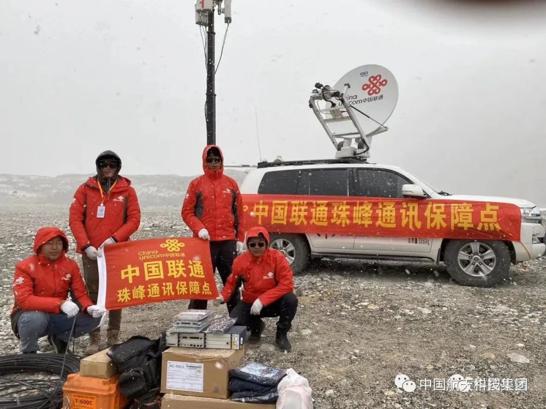
Aerospace Technology Group China Satellite Communication business personnel make full use of Internet means to provide users with meticulous services, remotely guide users to debug device parameters through video, and record small operation videos for the convenience of mountaineering teams.

screen shot of the Everest Observation Deck live broadcast < / p> Considering the extremely steep terrain and unusually complex environment of Mount Everest, which may bring certain tests to the operation of communication equipment, China Satellite Communication engineers combined with work experience, guide users to repeatedly check and confirm each link of the link Plan for the difficulties and problems encountered, and allocate backup resources for users to prevent sudden interference and make all preparations for optimization.
(The original title is at the top! The satellite returns to the live halfway, and the mountaineering team uses the Beidou to measure Mount Everest)